The mountains are calling – don’t forget to drink properly

Active & nature
The mountains are calling – don’t forget to drink properly
Amongst long distance hikers the term has been used for a long time: the Tyrolean Eagle Walk leads to some of the most beautiful spots in the Alpine region. A total of 24 stages, two of them in Kufsteinerland, await enthusiastic hikers. But why is it called the Eagle Walk? "If you look closely at the path on a map, you can see the shape of a flying eagle", explains Harry. As well as hidden natural treasures and fascinating power places, it is the unique flora and fauna that particularly impresses mountain hikers. "The path was officially opened in 2005. Next year we'll celebrate its anniversary", reveals Harry, who describes the two stages that pass through Kufsteinerland for us in detail.
We start at Hintersteinersee in Scheffau on the Wilder Kaiser. You can park your car in the signposted car park there, and start your mountain experience. After your tour the hiking bus from Kufstein can bring you back to your car. The lake path (no. 822) leads to the "Biobauernhof Pension Maier", passes it on the right then leads to the alm access road for Walleralm. From there the route is marked (no. 45) and you walk through a forest directly into the alm area.

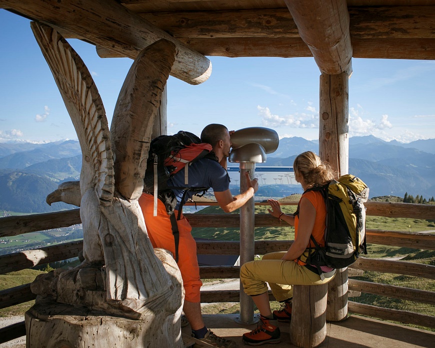
"It's worth stopping at Walleralm. The buckwheat cake is delicious", says Harry. After Walleralm, the signposted narrow trail to Kaindlhütte begins, meandering over Hochegg (1,470 metres). "Take your mobile phone out. The view from the summit cross on the long grassy slope is exceptional, and reaches from the Inn Valley to the Wilder Kaiser. A perfect place for a selfie with a panoramic backdrop", Harry enthuses.
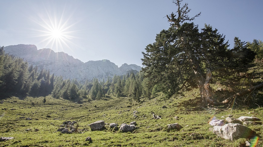
Continue over the open areas toward Kaindlhütte. "On the way there you'll see the ancient pine tree, which is already a few hundred years old.

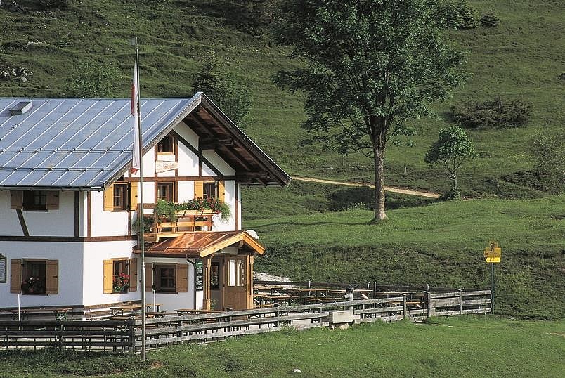
By the way, Kaindlhütte has homemade Kaspressknödel (flat fried cheese dumplings) that are really tasty", says Harry. Well-fortified for the last leg.
Follow the signs via Gamskogel and Brentenjoch until you start going downhill toward Duxer Alm. Just a few minutes later you can already see Kufstein Fortress – you've reached your destination!
This somewhat challenging stage starts in the village of Unterlangkampfen, between Kufstein and Kirchbichl. The wide hiking path leads over alm meadows and through thick forests. Shortly after the church you will see a sign for "Höhlensteinhaus", after this you turn right onto a cart track. After a steep forest trail, which leads to a colourful alm meadow, you will see Höhlensteinhaus.
Shortly before this, a trail continues toward "Köglhörndl". A meadow path with steep forest sections on a ridge take you to Köglhörndl at 1,645 meters. "The wild and beautiful landscape is absolutely worth seeing! The field of flowers with colourful orchids is a feast for the eyes!” says Harry. Once you reach the summit cross, it's time for a break: enjoy the view!

A short, challenging, extremely exposed route, which can be avoided on a parallel path, takes you to Hundsalmjoch. "Definitely plan on stopping here. The view of the Inn Valley, Zillertal Alps and Hohen Tauern needs to be enjoyed!” suggests Harry. As soon as you leave the ridge, you reach the marked path that takes you down through the alm landscape. Over mountain meadows and a marked path on the left-hand side, you reach the "finishing area". It's time for the last descent to Gasthof Schlossblick in Angerberg at 620 metres.
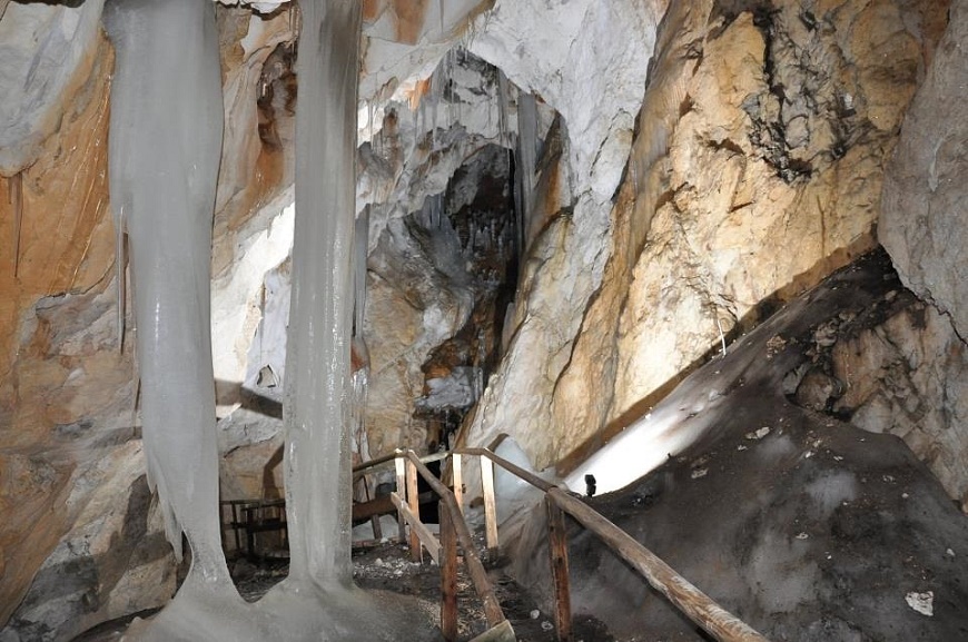
Tour tip: just before Buchackeralm, a path to the right leads to the Hundsalm ice and dripstone cave. You reach the attraction in just 20 minutes.

In conclusion, Harry would like to mention something: "One of the most important things on a long distance hike is that you plan enough time for the individual stages. There are so many beautiful places, views and natural spectacles, which you can only truly enjoy if you're not stressed. You can also enjoy rare flowers, chamois, deer and squirrels. And with a little luck you'll see the animal that gave its name to the long distance hiking trail, soaring far above your head – an impressive eagle. You'll always remember it!
1 Comment (s)
lxbfYeaa lxbfYeaa
31.05.2024 - 19:28 Time
20